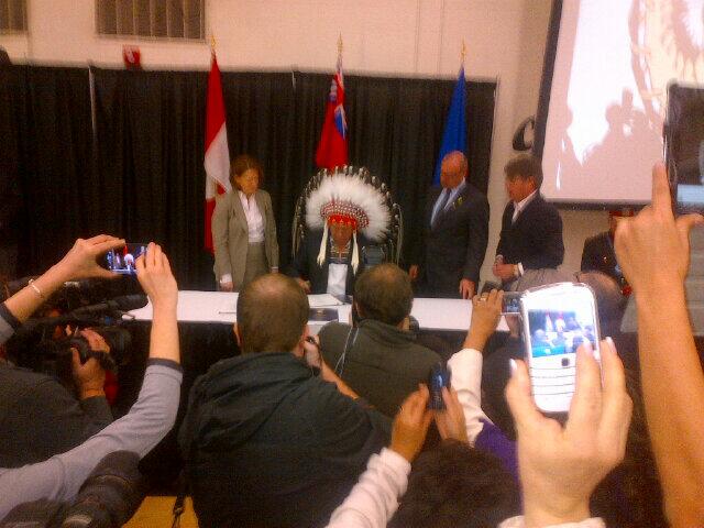
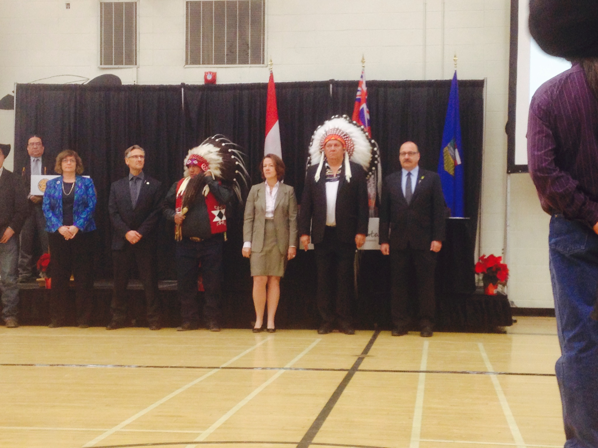
The following maps were released to the public in October of 2015 by the Province of Alberta, and rather than relying on older or historical maps of the project, I wanted to ensure that the most up-to-date information was available to readers. These are likely to remain the most current views of the road until a contractor is selected in September of this year.
Please click on the maps for larger versions.
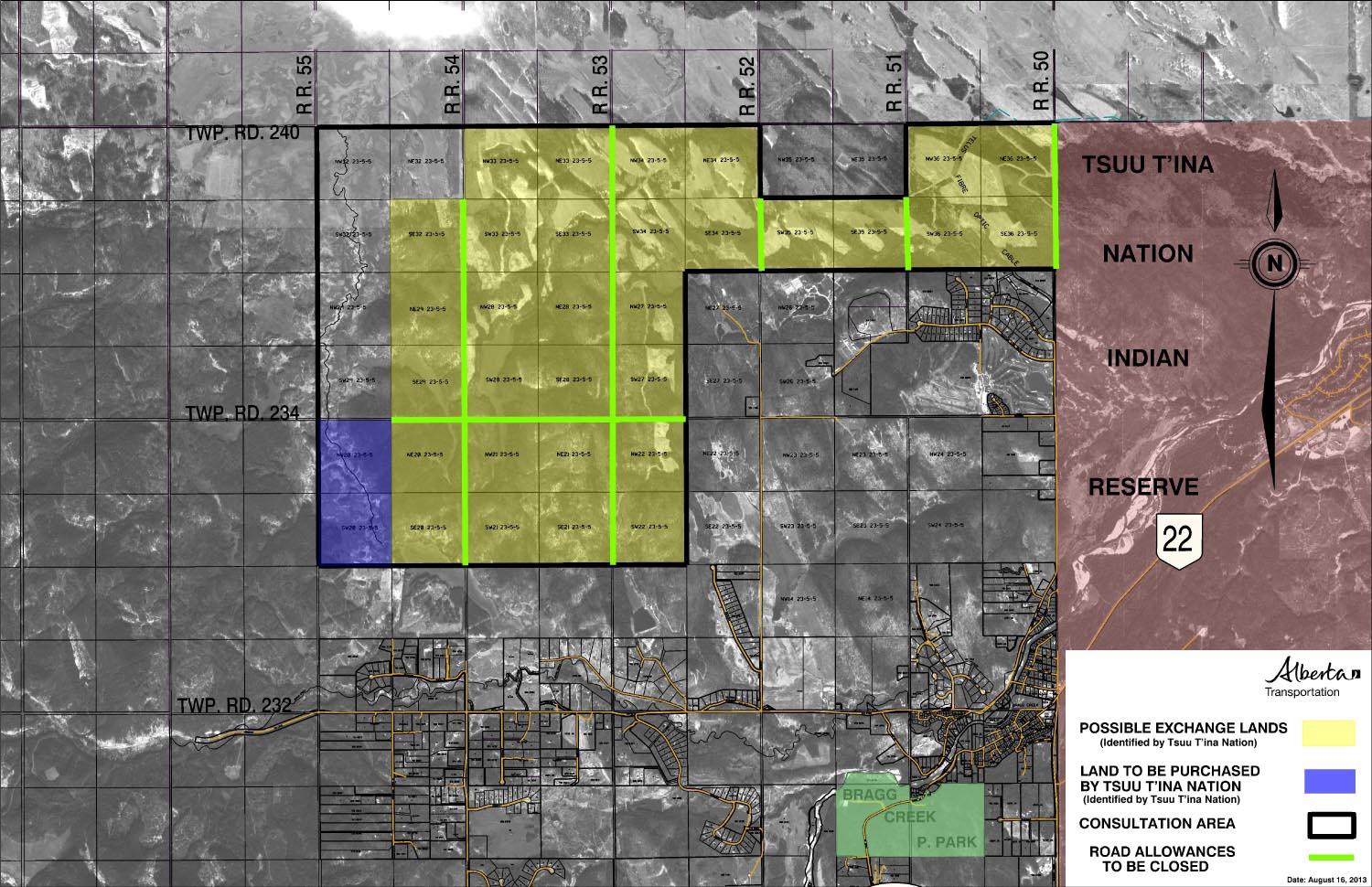
Southwest Calgary Ring Road Route
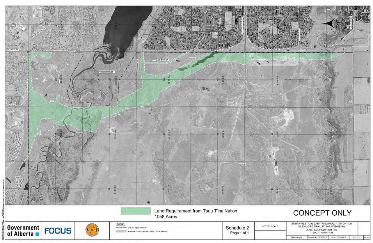
From North to South, the following maps show the full route of the Southwest Calgary Ring Road project as it currently stands:
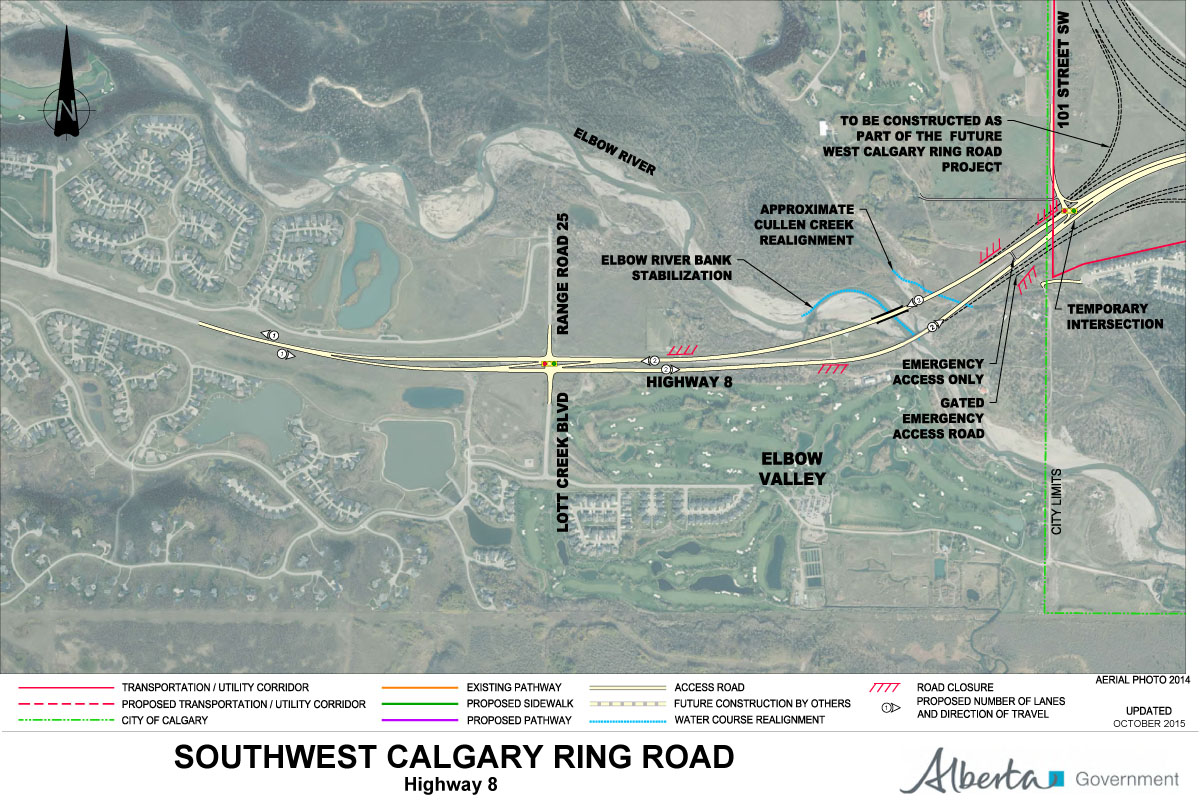
1) While not part of the Southwest Calgary Ring Road, Highway 8 from Lott Creek Boulevard to the Calgary City Limits at 101st Street SW will be twinned as part of the project, including a new bridge over the Elbow river.
2) The Southwest Ring Road begins at the Highway 8 Corridor, from Calgary City Limits at 101st Street SW, to the interchange at 69th Street SW.

3) Interchange of Glenmore Trail SW and Sarcee Trail SW, including Glenmore Trail upgrades between Sarcee Trail SW and the 37th Street SW interchange. Also shown are the interchanges with Westhills Way SW and Strathcona Street.