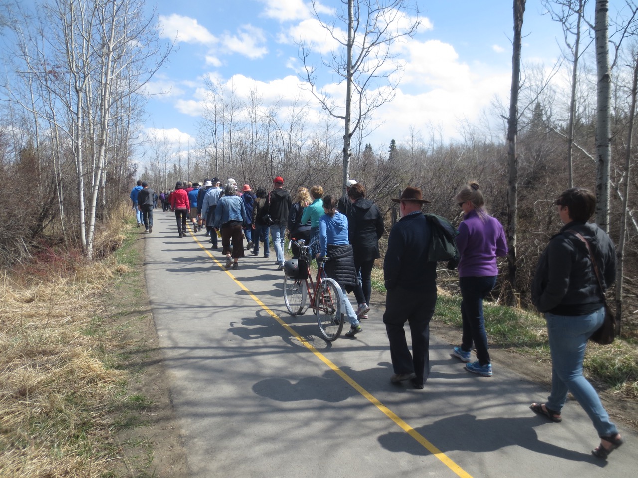
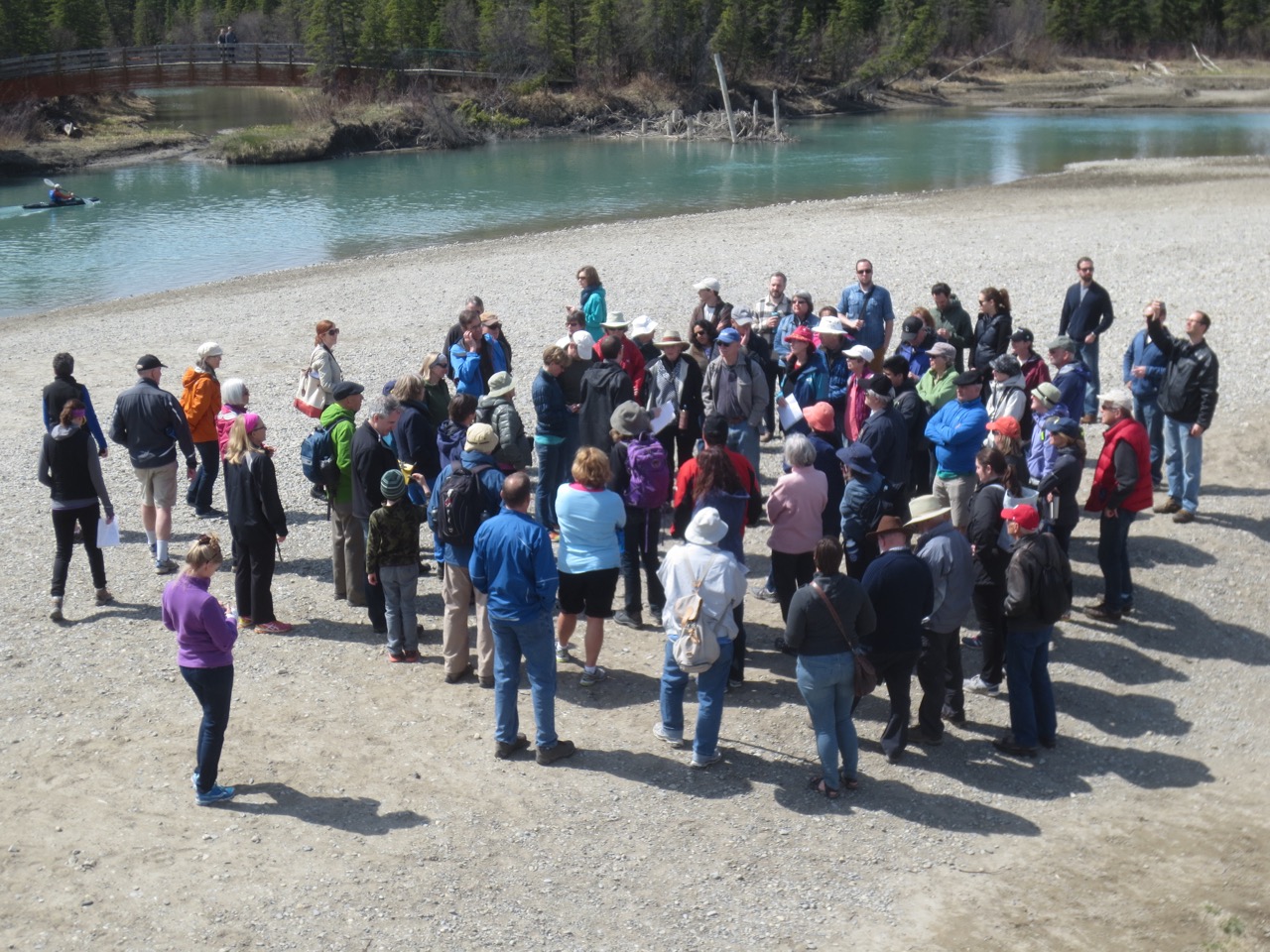
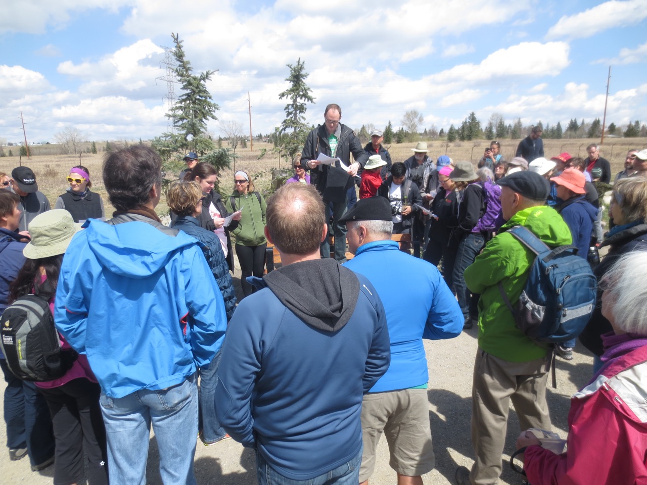
On May 3rd, 2017, I was fortunate enough to accompany Hal Eagletail on a tour of the Tsuut’ina Nation reserve. Hal is a well respected cultural leader of the Tsuut’ina, and the Lakeview Community Association’s Tsuut’ina Nation Relations Committee had invited him to speak to residents about the history and culture of the Nation. Hal wanted to show certain areas of the reserve in his presentation, and as chairman of the committee, I was asked if I was interested in seeing more of the land and to take photos. I was treated to an incredible day, listening to some of the stories and walking the land of the Tsuut’ina Nation.
Any mistakes in the stories recounted in this post are mine and not Hal’s. While the post below covers some of what was presented in Hal’s talk, I recommend watching the video of the presentation, which is shown at the end of this post.
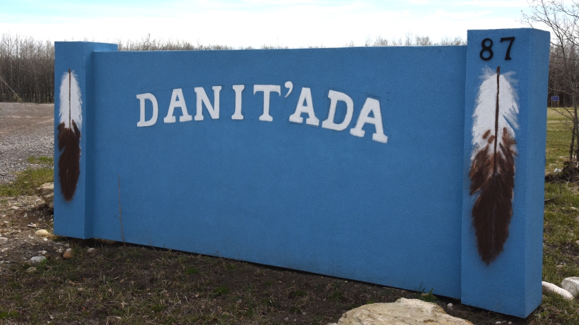
‘Danit’ada’ is the traditional Tsuut’ina greeting.
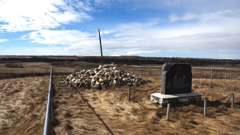
On the signing of Treaty 7 in 1877, the Tsuut’ina Nation was allocated a reserve adjacent to the Siksika Nation, near what is now Bassano, Alberta. After negotiating with the Federal Government for their own land, the area around Fish Creek (known as Wolf Creek to the Tsuut’ina) was selected by Tsuut’ina scouts. The scouts created a pile of rocks on a hill overlooking the creek in order to mark the land, and in 1883 when the new reserve was established, Chief Bullhead placed a rock on the pile and told all of his people to place their own rock. To this day, every Nation member continues to place a rock on the pile when they come of age, and as the Nation grows, so to does the pile.
A marker stone telling the story of the cairn was unveiled by Prince Charles in 1977.
Near the rock cairn is the new Tsuut’ina Nation museum. The previous museum was established in the early 1980s, and was located in the old Seven Chiefs sportsplex building. When the sportplex was torn down a few years ago to make way for the Southwest Calgary Ring Road, the museum’s collection was put into storage to await a new home. The new museum is located just south of Chief Bullhead’s old house (built in 1909) is slated to open on Treaty Day, June 28 2017.
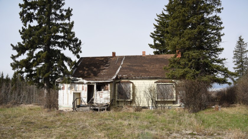
For decades, Federal employees known as Indian Agents were sent to oversee nearly every aspect of a First Nation’s business. The agent would typically live on the reserve they were sent to manage, in a house provided by the Government. This hundred-year-old Agent’s house, with its three fireplaces, was considerably larger than any other residence on the Tsuut’ina Nation reserve including the Chief’s house.
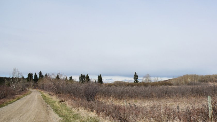
The lone spruce tree just to the right of the centre of the photograph above grows on the site of the old Tsuut’ina Nation reserve residential school (the Anglican St. Barnabas School). In the foreground is a thicket of yellow lilac bushes planted by the children who lived at the school.
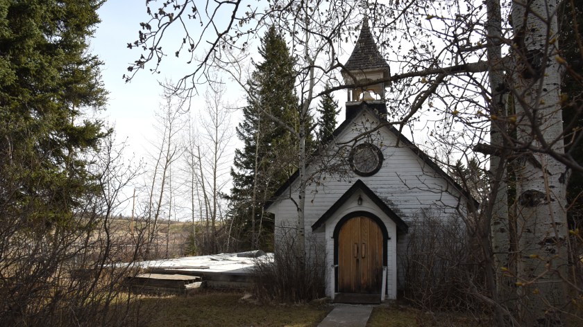
Pictured is the third Anglican Church built on the reserve. The foundations of the second church lie to the left of the church in this photograph. The first church, established in the late 1880s, was a sod building.
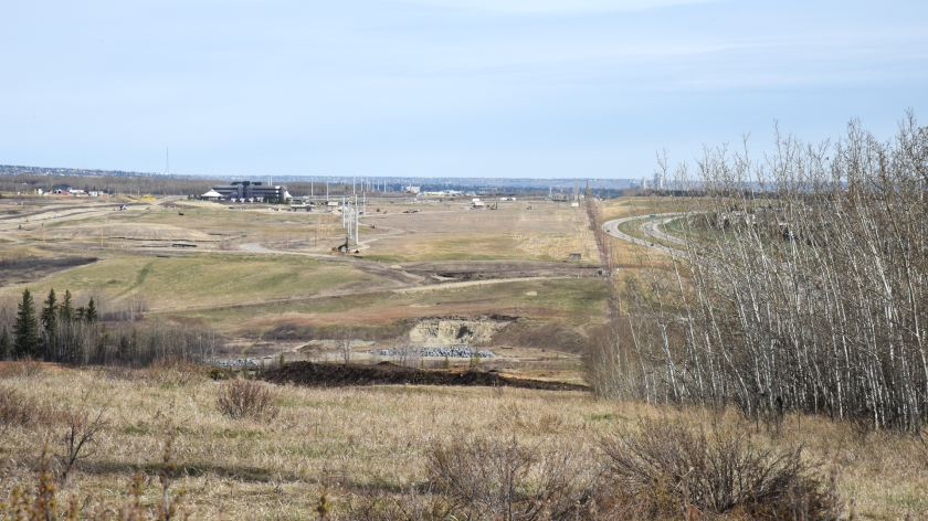
This view, looking north, shows the new Southwest Calgary Ring Road corridor along the eastern edge of the Tsuut’ina Nation reserve. The Wolf Creek/Fish Creek valley is in the foreground, and the fence-line to the right of centre of this photo denotes the previous boundary of the reserve, adjacent to 37th street SW and the community of Woodbine. The Nation’s Administration building is visible at the left of the photo.
Hal recounted that in the 1800s a man named Eaglerib had a vision: that the land chosen for the Tsuut’ina Nation reserve would one day be surrounded by boxes, and that these boxes would allow the Nation to prosper. Over a hundred years later, the houses of Calgarians will soon surround the reserve on three sides. With the new ring road being built to provide access to future commercial developments, the growth and proximity of the City of Calgary is seen to be fulfilling Eaglerib’s vision of a coming prosperity for the Nation. Continue reading “A day on the Tsuut’ina Nation reserve”