Though the Southwest Calgary Ring Road is perhaps the best known Provincial road to be planned through the Tsuut’ina Nation reserve, it is not the first; over a hundred years ago another Provincial road was sought, and built, across the Nation’s land. The story of the Priddis Trail, as the early road was known, may provide some much-needed context with which to view the long negotiations for the ring road project, and perhaps to understand how the legacy of previous land agreements may have influenced the current process.
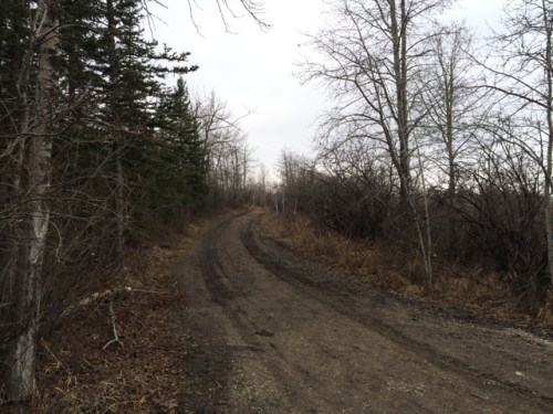 (Photo of a remnant portion of the Priddis Trail, 2015. Source: Author’s own.)
In this five-part series, I will look at the establishment of the old road through the Tsuut’ina reserve, the use and decline of the route as a public highway, and the problems surrounding the ownership and the handling of the land and the deal. Part two can be found here while Part three can be found here. I acknowledge that the resources that inform this work are largely that of non-First Nations sources, and while this is intended to be a factual look at the history of the road, it must be noted that the perspective is largely non-indigenous. I hope that further research, working with Tsuut’ina sources, will reveal other equally valid perspectives on this story in the future.
THE NEED FOR GOOD ROADS
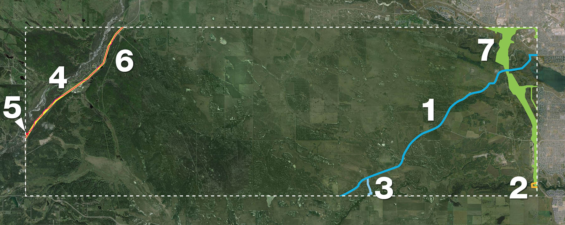
At the turn of the century, settlers of the Priddis and Millarville areas of southern Alberta relied on well established, though informal and unmaintained, wagon trails in order to access Calgary and other areas and ranches of the region.
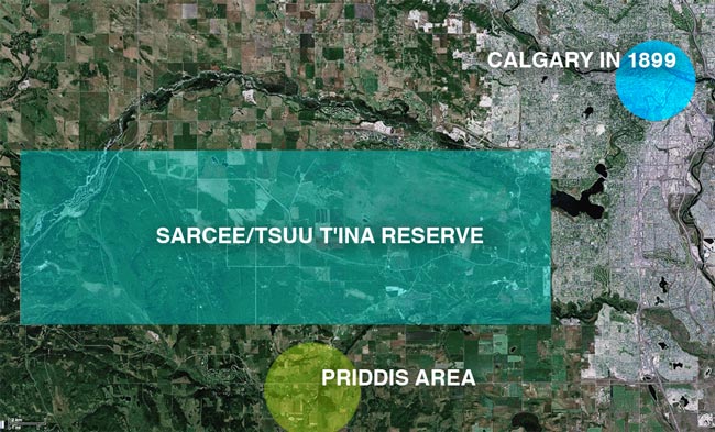 (Map of the Calgary area, showing the Tsuut’ina reserve and the Priddis area. Source: Google Maps.)
The provision of useful roads in the North West Territories was a constant battle for the Government, and many districts in the Territories, including Alberta, chronically suffered from poor or impassable routes. In 1900, the Department of Public Works noted this problem in its annual report:
“…so long as we have earth roads we must expect bad roads during wet seasons, and as the conditions in the Territories will not permit the construction of any other kinds of roads for many years to come it must be understood now that during certain years good roads will be an impossibility.” 1
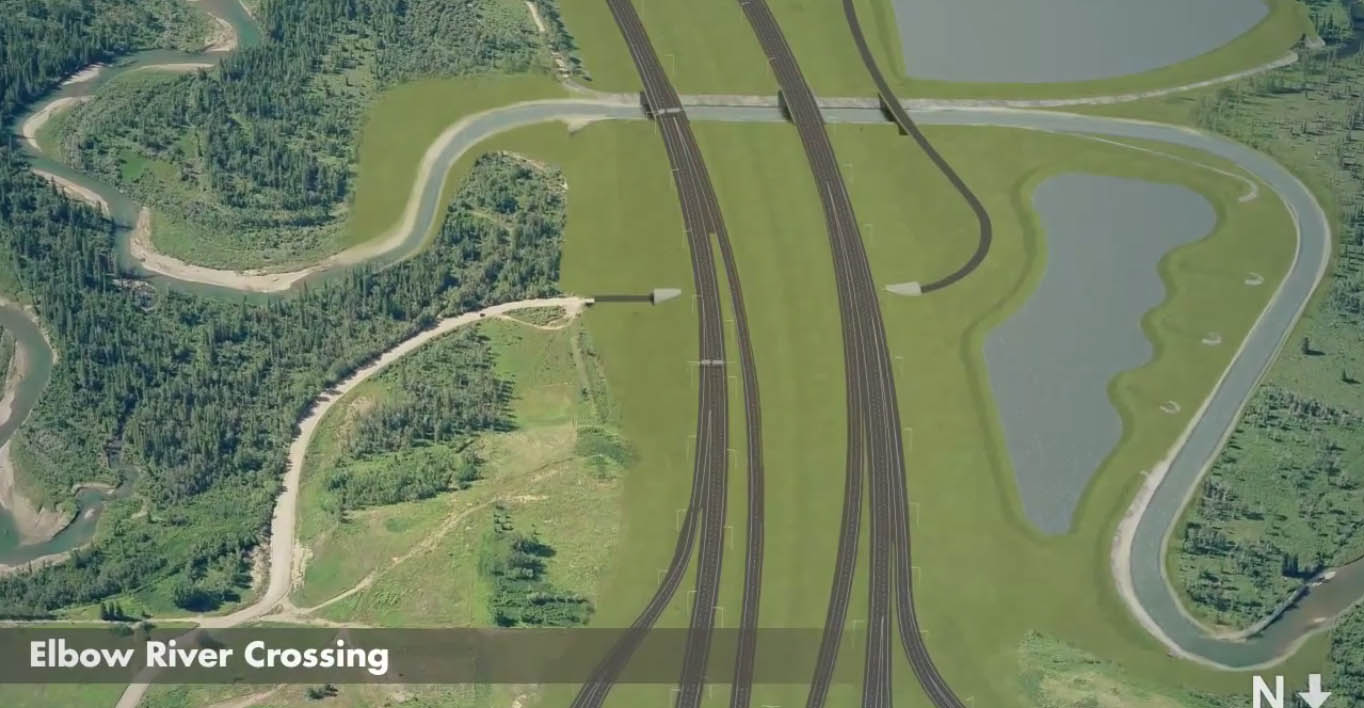
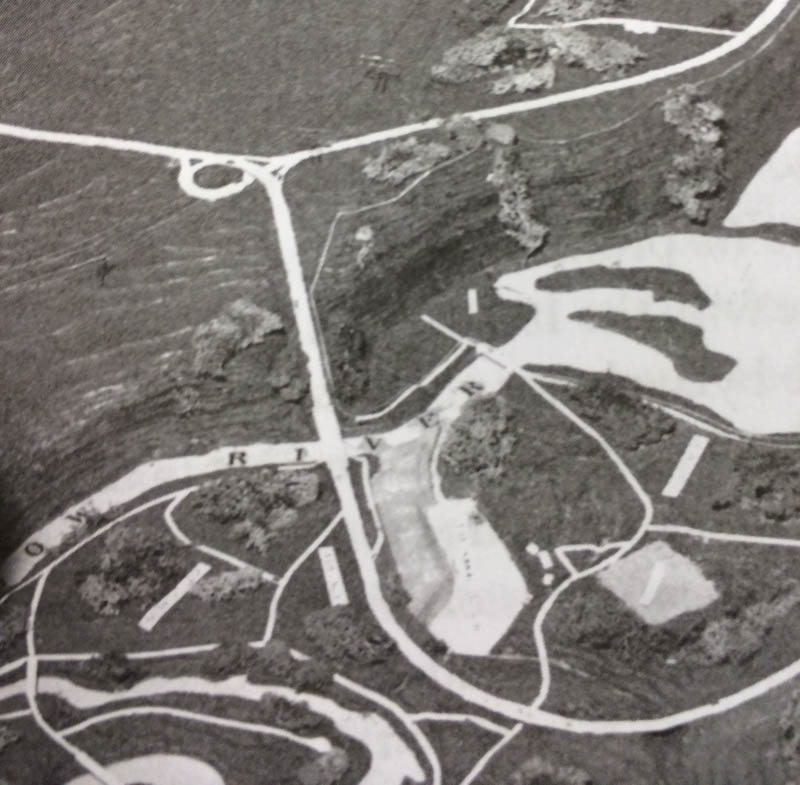
In the midst of 1899, a notably wet year, local settlers and homesteaders called upon the Government of the North West Territories to improve and maintain a reliable road to the Priddis area. There already existed a well-used old trail between Priddis and Calgary, known locally as the Priddis Trail, or Gunawaspa Tina in Tsuut’ina, and it was this route that the locals wanted improved.2 Much like the case of the Southwest Calgary Ring Road, it was an alignment through the Tsuut’ina reserve that was seen by the Government as providing the most efficient route to serve those living south of central Calgary. In this case however, its use was reported to have predated the establishment of the reserve.3
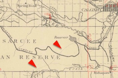 (A map from 1897 showing the route of the Priddis Trail. Source: “Preliminary map of a portion of the District of Alberta showing Canadian irrigation surveys during 1894″. University of Alberta Libraries, Peel Map 747.)
Crossing the eastern portion of the Tsuut’ina reserve (at that time known as the Sarcee reserve) and leading diagonally from what is now the corner of Glenmore Trail and 37th street SW to a point just north of Priddis, the trail had been in use for many years by early European settlers of the area and Nation members. Like many in the North West Territories, the earthen trail suffered from regular periods of muddy and impassable conditions, and despite warnings that roads may not be improvable in the short-term, the Government had recently begun to prioritize important ‘Colonisation Roads’4 which connected newly settled areas and local market centres. Calls for the trail to be opened and improved as a public highway were heeded.
Continue reading “The Rise and Fall of the Priddis Trail – Part 1: Establishment”