Why was the SW ring road planned through a First Nation’s reserve? How did the Weaselhead come to be owned by the City of Calgary? Why are Unexploded Ordnance being found in the Elbow river valley?
Join me again on this year’s Jane’s Walk through a beautiful and historic part of Calgary.

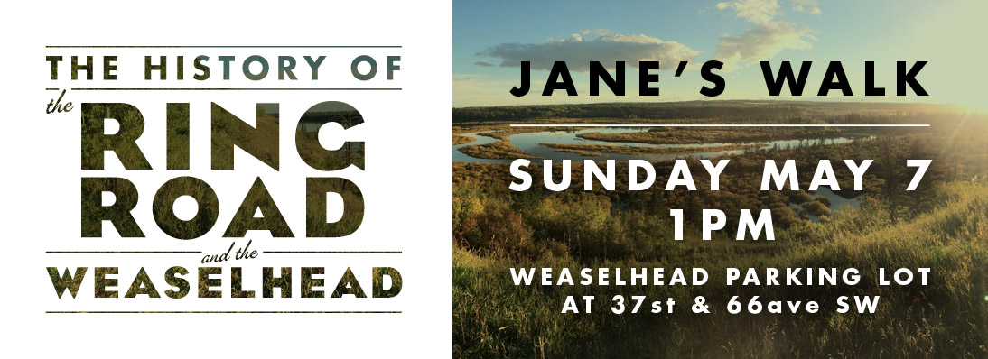
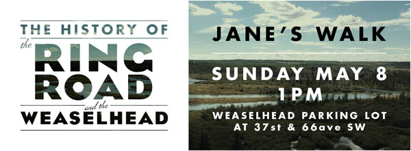
This is the fifth year that I will be leading the walk, and it will be a chance to talk about many of the issues I have covred on this blog; to look at the history of the SW Ring Road and to explore the past, present, and future of the Weaselhead area, one of the most historically rich parts of Calgary.
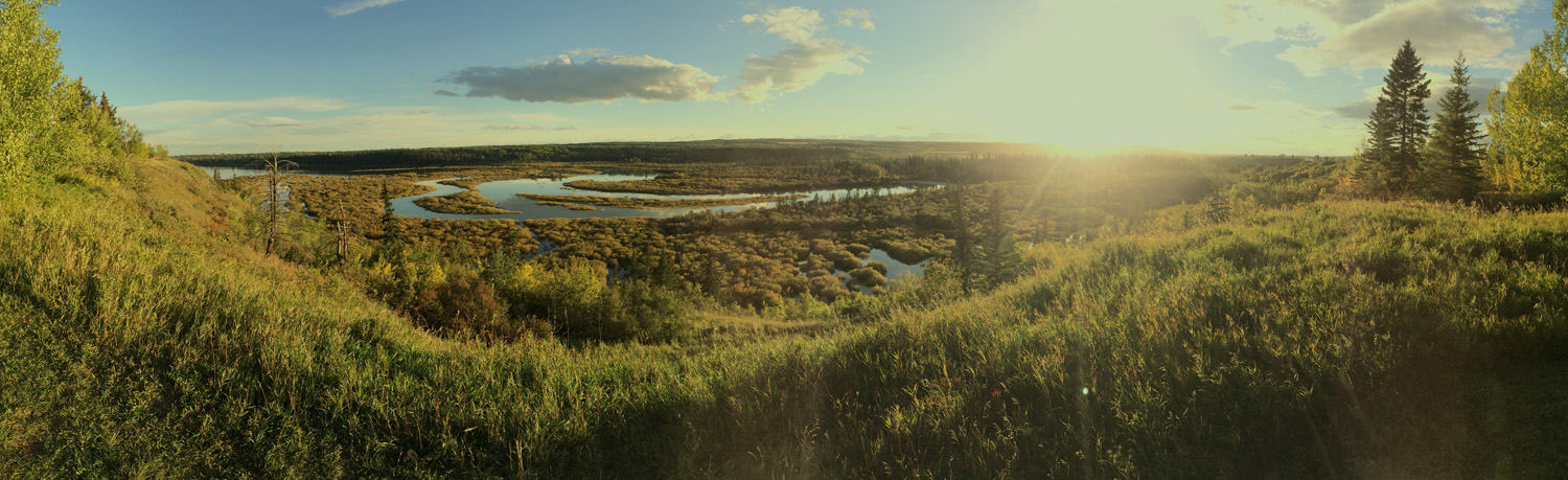
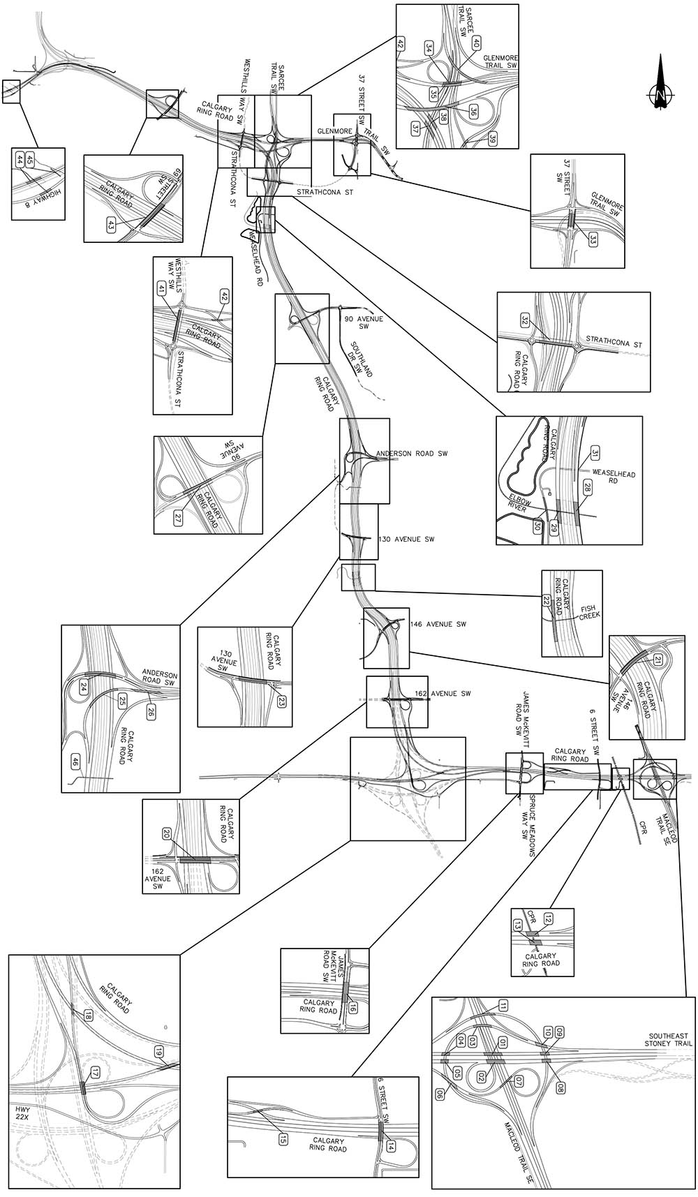
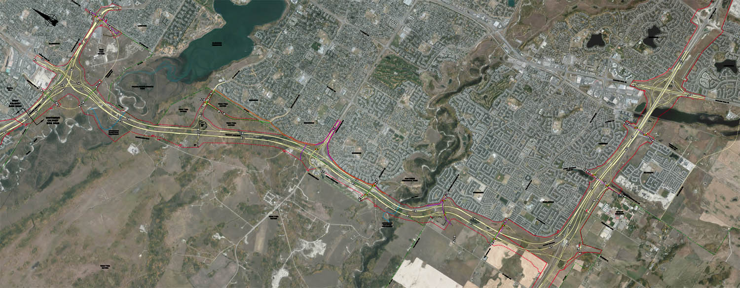
We’ll travel along the first Provincial highway that was built through the Tsuut’ina Nation reserve over 115 years ago (with origins dating back even before the signing of Treaty 7) and through land that was purchased in the 1930s for the Glenmore Reservoir. We’ll see where the Canadian Military operated the largest WWI training camp in Western Canada, and explore the legacy of disputed land ownership and unexploded ordnance that years of military use has left behind. We’ll experience one of the quietest corners of the city, now adjacent to where the SW Ring Road is being built, and see where previous plans would have located the road through the valley. We’ll look at the role that the Tsuut’ina Nation’s economic development plans have played in getting the road approved, and how Calgary and the Nation can come together as development progresses.

Details
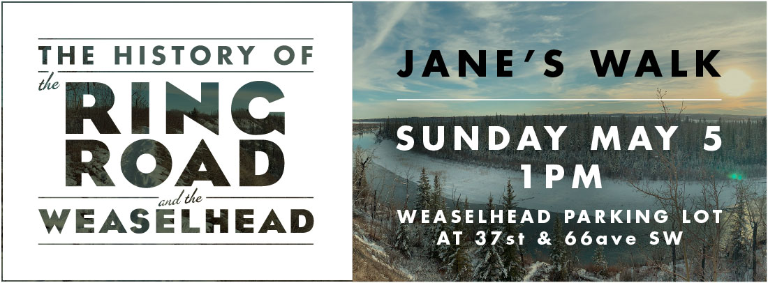
Date: Sunday May 5, 2019
Time: 1:00 pm
Duration: about 2.5 hours
Meeting Place: North Weaselhead Parking Lot (at the corner of 37th street SW and 66th avenue SW in Lakeview)
Don’t forget to download the handout to your smartphone for the walk! Download here
Jane’s Walk in Calgary
Click here to visit the Jane’s Walk description for the SW Ring Road and Weaselhead walk
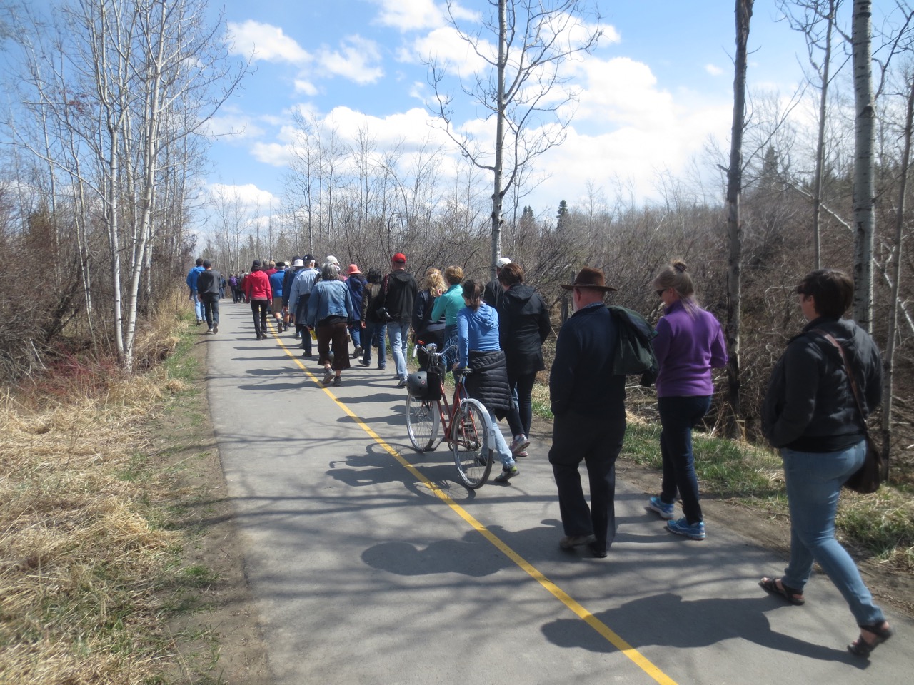
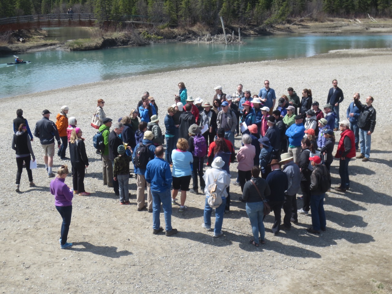
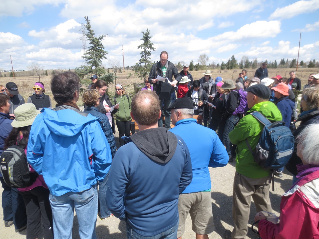
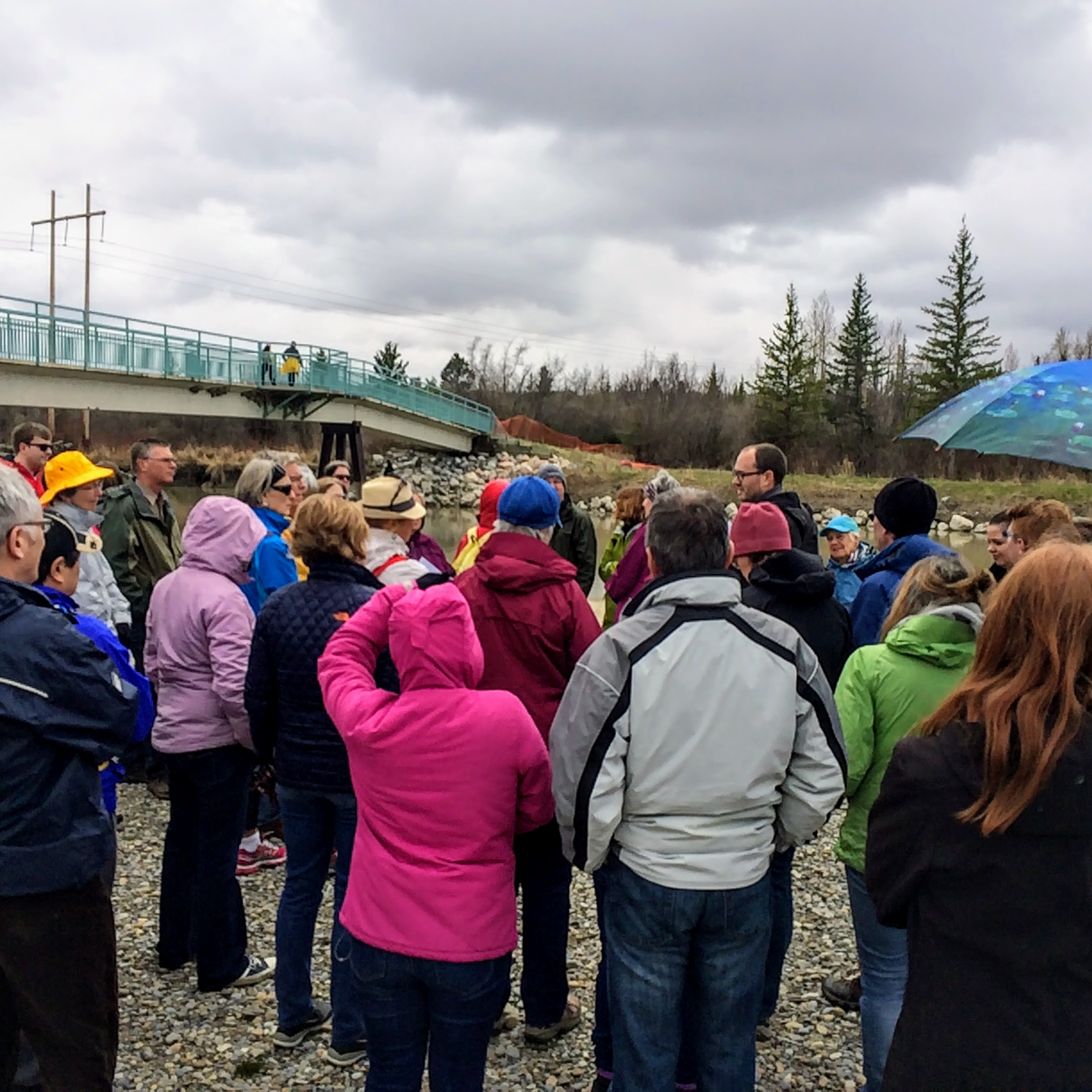
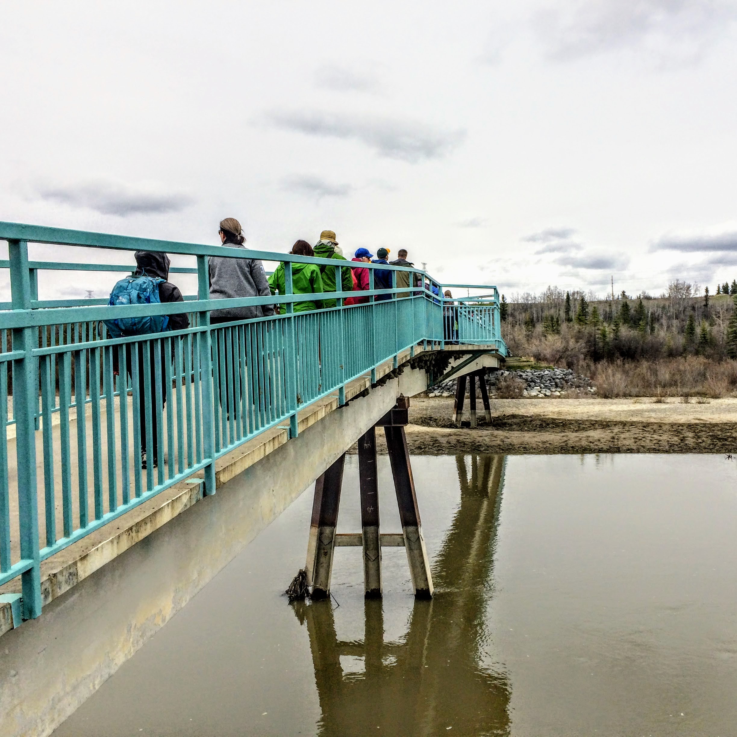
Thank you to Stephanie Hawes for providing the photos of the 2017 walk!