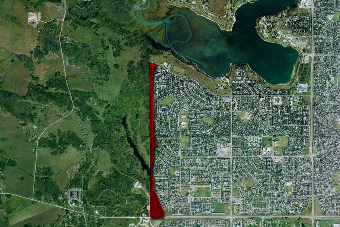
Modern plans have for decades shown the Southwest Calgary Ring Road as traveling through the northeast corner of the Tsuut’ina reserve. As these plans for the road had utilised land that cannot be guaranteed to be available, many have wondered why the City allowed communities like Lakeview and Glamorgan to grow right up to the city-limits, leaving no room for a ring road. With no corridor protected for this road, some have openly blamed the City for failing to plan ahead, but is this really the case?
Early Road Planning
Although there were early attempts at planning the major roadways in Calgary, notably Thomas Mawson’s plan of 1914 and the City’s 1930 Major Street & Arterial Highway plan, 1952 marked the first modern road plan for the city of which all subsequent plans are indebted. The 1952 plan (below) was the result of a push in 1948 for a masterplan for Calgary, not just for street layout but for all future growth for the city including land-use and zoning.
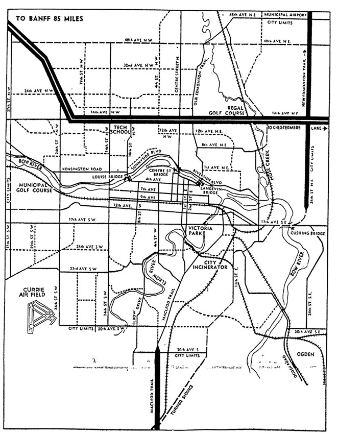
The explosion of car ownership in the post-war era had compounded congestion in the downtown core of Calgary, and the need to design a road network that would accomodate new traffic and allow drivers to avoid downtown was seen as paramount in allowing for the continuing growth of the city. Although the Major Thoroughfare Plan shows improved bypass roadways that avoid the core of the city, the proposed road network was contained within the city-limits of the time, and no regional bypass routes or ring roads feature in the plan. That state of affairs was soon to change, and beginning the following year, the City began the process of planning a ring road system for Calgary. Continue reading “Why plan a road through the Tsuut’ina reserve?”