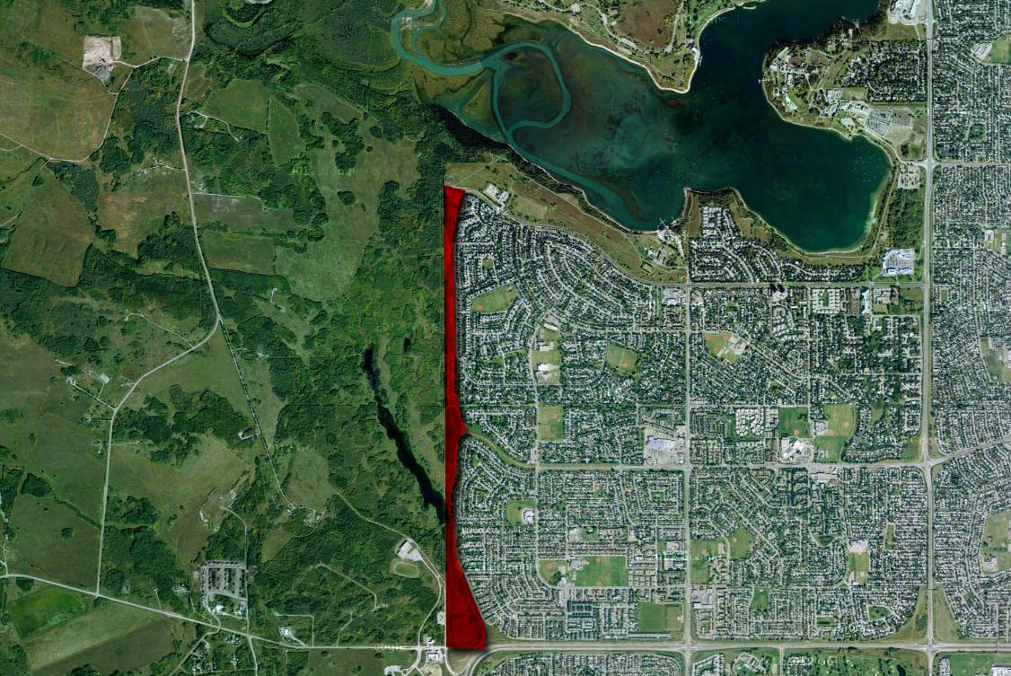
Though the planning for a Southwest Ring Road had been started in the early-to-mid 1950s, it remained little more than a line on a map for the next few decades. It took the pressures of growth, and the establishment of a new Provincial park, for the City to move the project from long-range thinking to a more detailed phase of planning. By the mid 1970s the planning for the Sarcee Trail extension, as it was then known, had become a priority to the City, even if the need for the road was recognised to still be decades away.
The study would look at routes that traveled from Glenmore Trail to Highway 22x, though I will focus on the portion that crosses the Elbow River, from Glenmore Trail to Anderson Road. For more on the crossing of the Fish Creek, see here. Continue reading “1977 Sarcee Trail South Route Location Study”